 |
since 1997 |
| home contacts how to order store terms & conditions |
|
maps
africa antarctica asia - asia - southeast asia australia canada central america europe - europe - france - italy - scandinavia - uk & ireland himalaya region middle east new zealand - bird watching maps - city maps - freshmap (digital) - historical maps - huts (DOC) maps - map creation - newtopo maps - recreation maps - rural road maps - scratch maps - topographic maps - tramping maps - travel maps pacific islands - roads - topos south america usa wall maps australia international mural new zealand - map creation - north island - regional - south island scratch maps unusual world books mapaholics quirky world atlases children books - new zealand - planets, stars - world, travel games globes maps placemats equipment beacons compasses magnifiers accessories for maps map holders trackers flags new zealand world garmin GPS auto communication handheld mapping for garmin military motorbike tracking globes children's desk floor illuminated desk mini novelty new zealand accessories for maps alpine guide books atlases bathymetry lakes bathymetry sea cycling geology maps & books guide books nautical charts tramping books |
|
|
 Montana 760i
 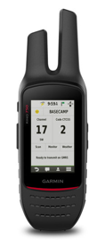 Rino 750
 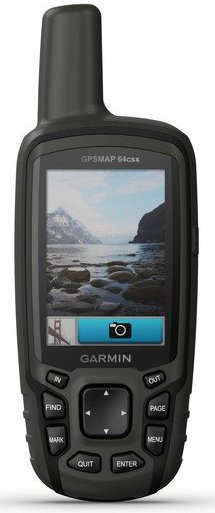 GPSMap 65s
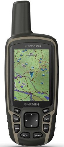 GPSMap 65
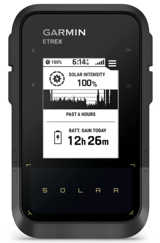 eTrex Solar
 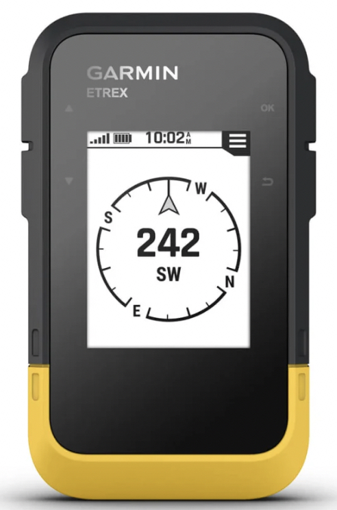 eTrex SE
 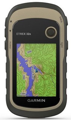 eTrex 32x
 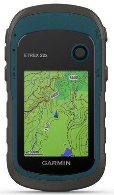 eTrex 22x
|
home contacts links |
how to order store |
All prices are in NZ$ including GST. MapWorld is not liable for any inaccuracies in this information. © MapWorld New Zealand, 2025 |
|