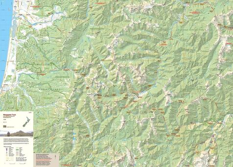
Wangapeka Track
- Scale: 1:55,000
- Size: 840 x 600 mm
- Folded: $26.90
This new edition has been extended northwards to provide overlaps with the Heaphy Track map to the north west and the Mt Arthur, Cobb Valley map to the north.Ā There is a small overlap with theĀOld Ghost Road mapĀin the south west.
The map now includes theĀLeslie-Karamea TrackĀupstream from Karamea Bend to join the Wangapeka Track.