Collins Essential Travel Atlas
A4 spiral bound road atlas of Europe.
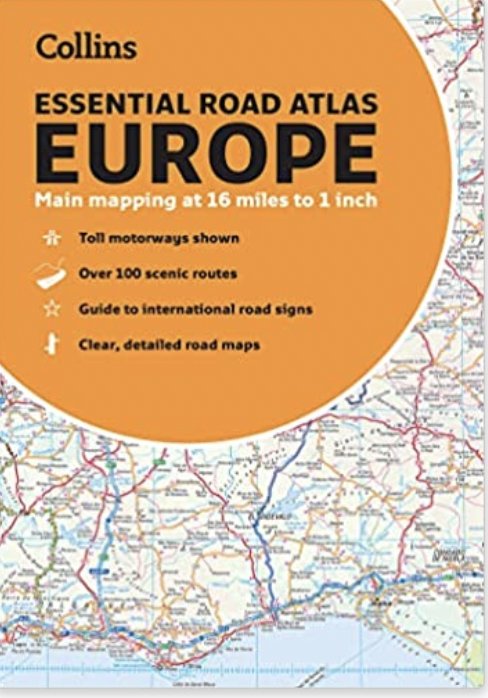
Contains clear, large-scale, detailed road mapping, perfect for touring the Mediterranean, Iberian peninsula, Scandinavia and all European tourist destinations.
Main features: Ā
- Clear, easy to follow road maps at a scale of 1:1,000,000.
- Europe routes and motorways are easily distinguished on the mapping.
- The maps also show international road classifications, road distances in kilometers and relief is shown by attractive layer tints.
- Route planning maps
- Over 100 scenic routes shown
- Toll motorways shown
- Guide to international road signs, driving advice and useful internet links
- Route maps of 64 major cities
- Street plans of 16 major cities
- Locator diagrams on each page to help you navigate
- More detailed road maps extending from Amsterdam to Munich, making route following easier through this densely populated area.
- The mapping extends from the North Cape (Norway) to Gibraltar and from Ireland to east of Moscow. Also includes Iceland and Cyprus.